Google have been advertising their 3D map of the world recently, so I thought I'd give it a try. After a virtual flight from Winchester to Cumbria it all seemed pretty accurate, so I thought I'd try it out against somewhere further a field. Somewhere I had photos to compare against. Somewhere like New Zealand.
I used the free version of Google Earth from earth.google.com
Click the pics for full sized images...
| Looking towards Wellington | 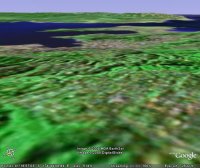 |
 |
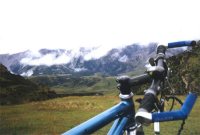
| Near Arthur's Pass | 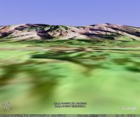 |
 |
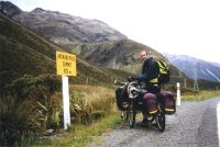
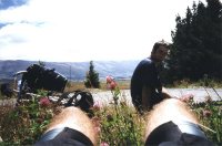
| Arthur's Pass Summit | 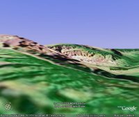 |
 |
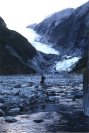
| Franz Josef Glacier | 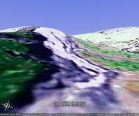 |
 |
| Bruce Bay | 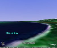 |
 |
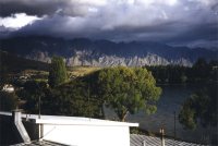
| Lake Hawea | 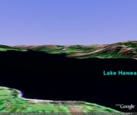 |
 |
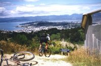
| The Remarkables, Queenstown | 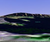 |
 |
| Middlemarch, Central Otago | 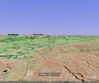 |
 |
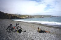
| Banks Spit, near Christchurch | 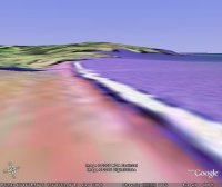 |
 |
Verdict: What an awesome piece of software! Astonishing to think you can now position yourself anywhere on the globe and look around as if you were actually there.